
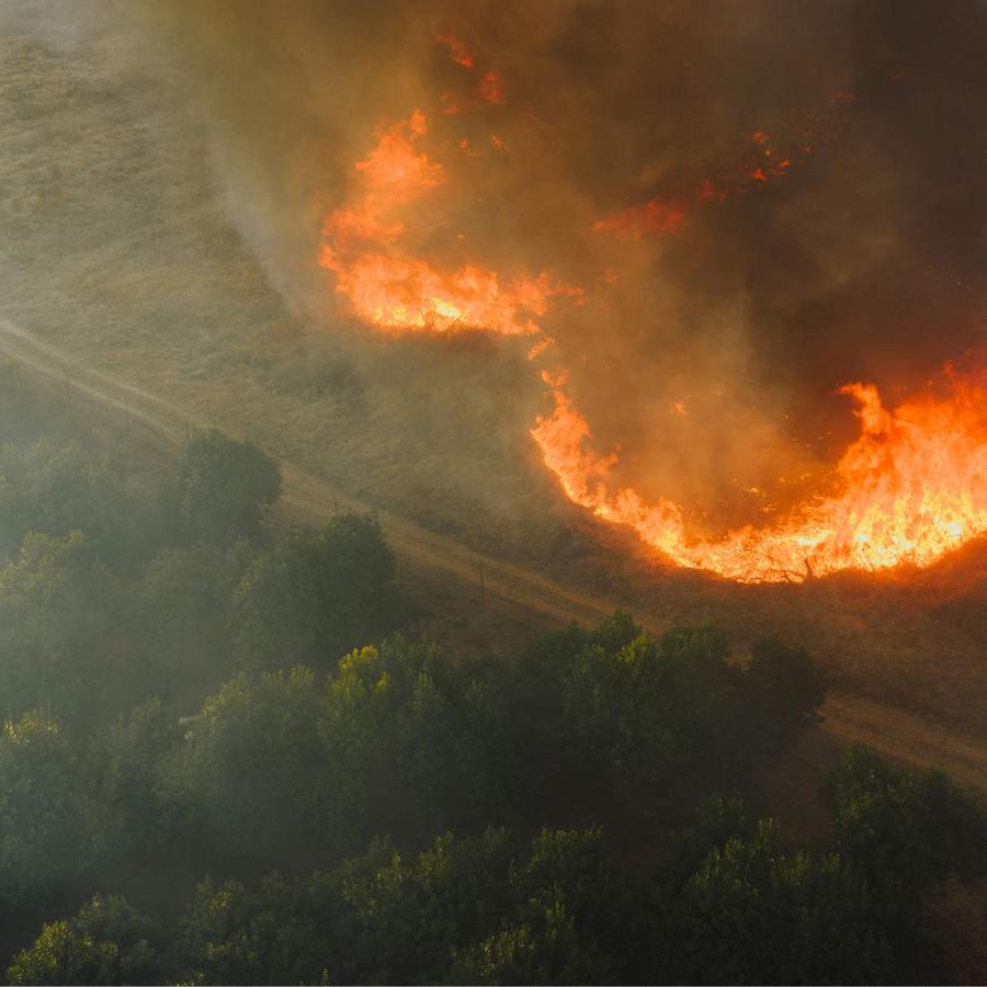
Wildfire hotspot and edge. Active fire fronts pulled out of thermal and optical passes and delivered as a line on the map. Refreshed as each pass lands, so a commander can see where the edge has moved since the last briefing.
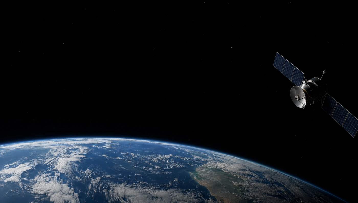
The Space Resilience Node turns Earth observation data into operational products for wildfires, floods and other disasters, and delivers them to the dispatchers and commanders running the response.
Satellites already see the disasters. The hard part is getting that picture to the responder who has to act on it.
That data usually needs specialist processing before it can be used, and dispatch systems are rarely connected to satellite pipelines. Space intelligence often arrives after the decisions it should have informed.
The node removes those steps and delivers into the tools responders already have in their hands.
Detection and processing close to real time, optical, thermal and radar data fused into one product, and delivery straight into 112, computer-aided dispatch and the common operational picture.
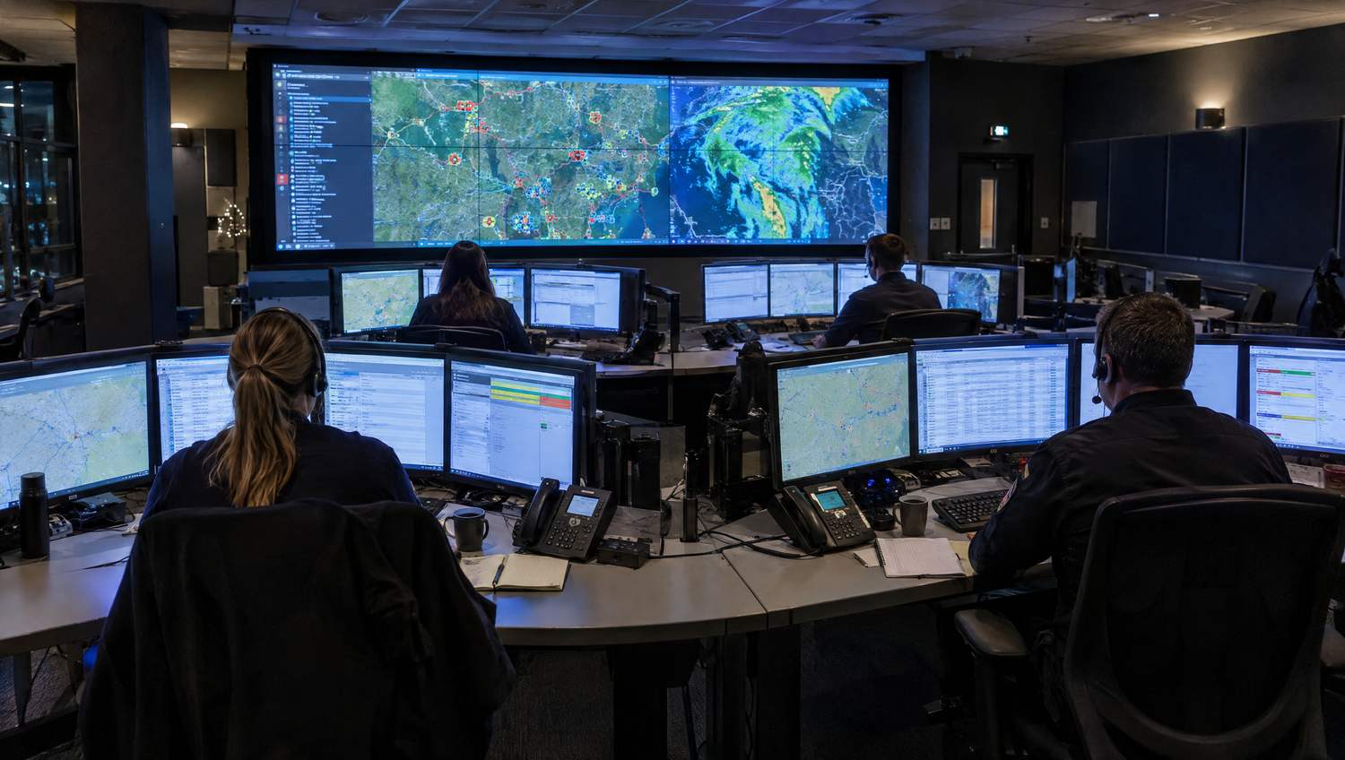
While an incident is running, the node takes the satellite imagery covering that area, processes it as the response unfolds and delivers the result into Smart CAD.
Radar sees through cloud and darkness. Thermal finds the heat. Optical carries the detail. The node combines all three into one boundary, so the answer still holds when any single sensor is blind.
When the imagery arrives it becomes a fire edge, a flood boundary or a plume perimeter. Dispatchers manage and act on it in Smart CAD, beside the call and the units already on the map.
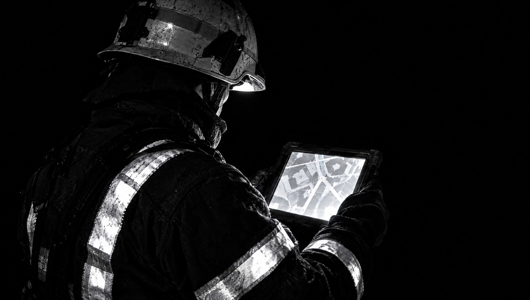
From the operations centre onward to the tablets and vehicles in the field, with a link into drone operations so a satellite cue can put a UAV over the right place.
What this looks like on a real incident: where the fire front has moved since the last briefing, which roads the flood has taken, which buildings the storm hit, and where a hazardous plume is drifting.
Wildfire hotspot and edge. Active fire fronts pulled out of thermal and optical passes and delivered as a line on the map. Refreshed as each pass lands, so a commander can see where the edge has moved since the last briefing.
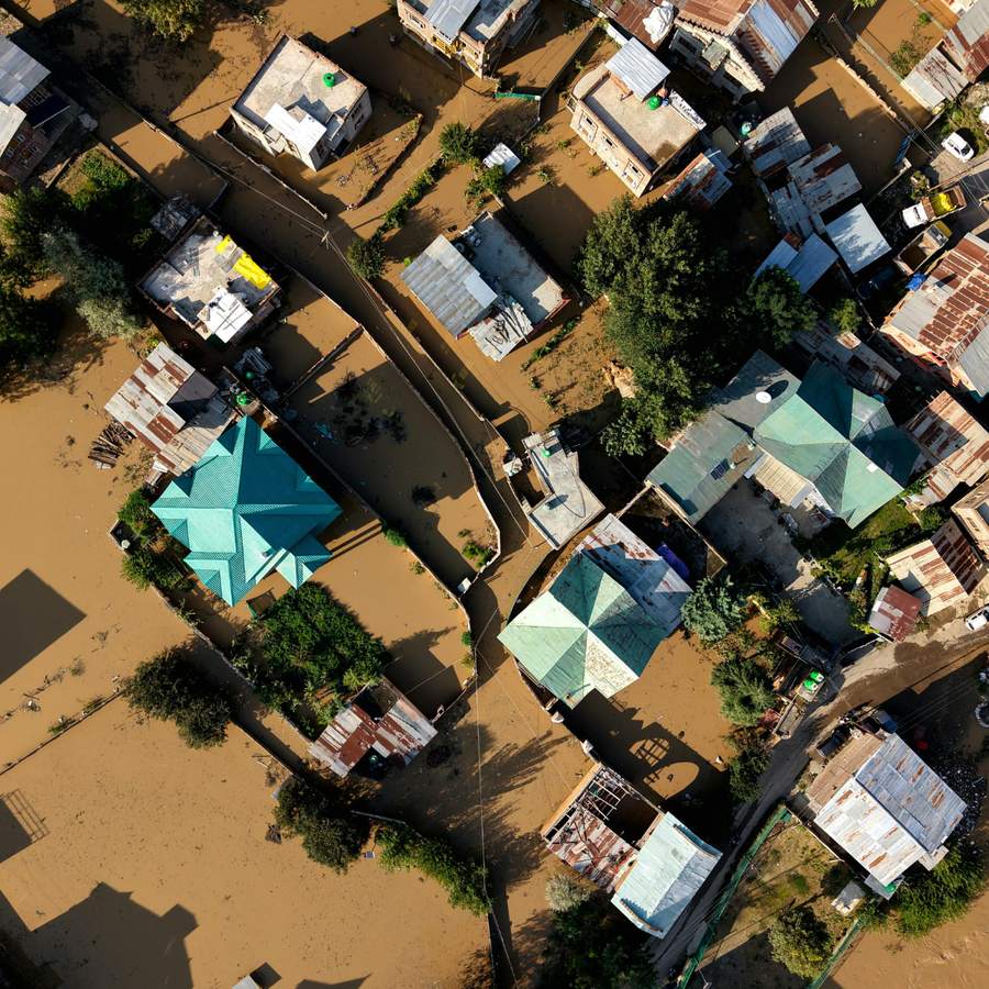
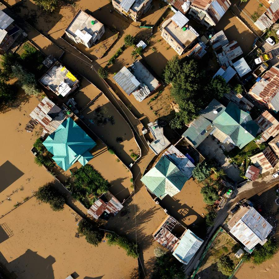
Flood extent boundaries. Radar sees through cloud and darkness, so a boundary can be produced in the weather that caused the flood. Fused with optical data into an access-impact layer that shows which roads and which approaches have gone.
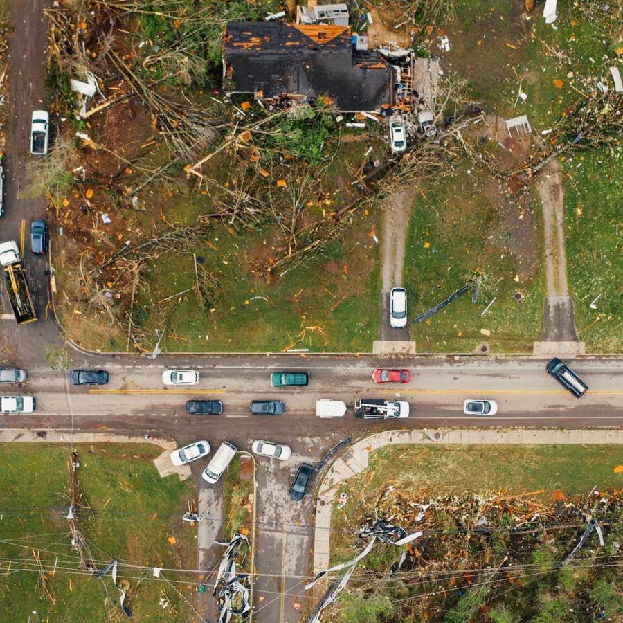
Storm and tornado damage. Structural damage classified building by building once the system has passed, and the impact corridor delineated, so the first sweep is sent to the places most likely to be holding casualties.
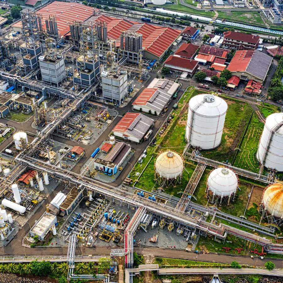
Industrial perimeters. Hazardous plumes tracked from thermal data and bounded into a safe zone, with the cue handed to local UAV flights when somebody needs a closer look at the source.
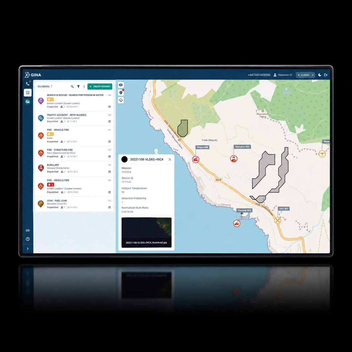
The node delivers data straight into Smart CAD, GINA’s computer-aided dispatch system. A wildfire edge or a flood boundary arrives on the same map as the call, beside the units, while the incident is still open.
Learn more about Smart CAD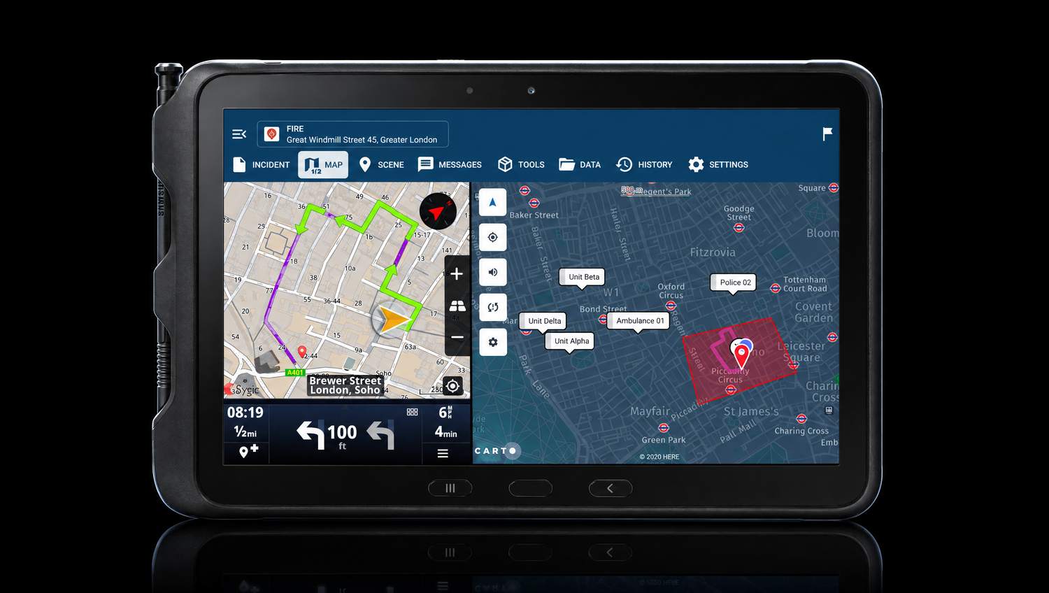
A product that stops at the operations centre has not arrived. The node pushes to tablets and vehicles over GINA’s last-mile technology. That tablet is already integrated into the rescue system and used by Czech firefighters.
Learn more about GINA Apps“Satellites already see the disasters. The hard part is getting that picture to the responder who has to act on it. This project builds that picture into the tools our responders already use.”
Sixteen years of nation-wide emergency platform and last-mile technology, built in Brno. Part of the technology stack of the Czech Integrated Rescue System, used by 250,000 users in more than 50 countries. Leads seven of the nine work packages.
ginasoftware.com ›European Resilience from Space for Earth Observation (ERS-EO), Element 2: the ERS-EO Federated System. The Czech node is one of a set of national Space Resilience Nodes being defined across Europe.
esa.int ›Thirty-five years of remote sensing, with work on the Copernicus Emergency Management Service and ESA and EU geospatial programmes. Leads product specification (WP2000) and outreach and exploitation (WP8000).
gisat.cz ›Ecosystem mapping in Czechia alongside CzechInvest, cataloguing downstream commercial vendors and connecting the node to the wider defence and resilience innovation network.
The General Directorate is a project partner, anchoring the node in the operational reality of the national service.
Leave your address and we will send you the project detail and updates as the work progresses.